About the walk
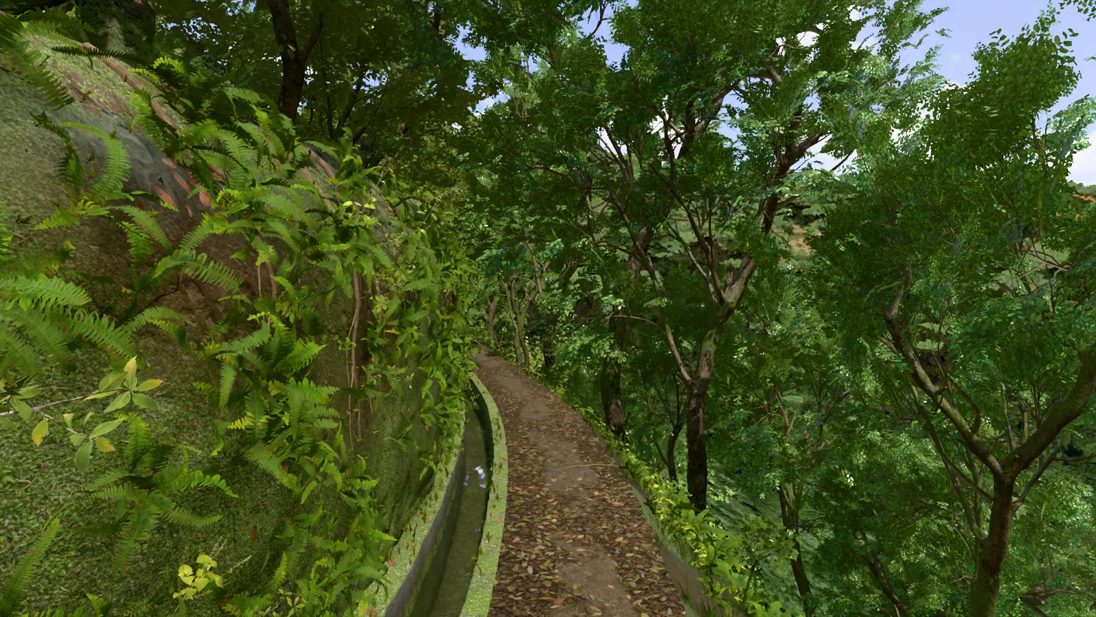
A 65 m stretch of footpath beside a water channel that you can walk at your own pace, rendered live by your own device. It takes its setting from Madeira but isn't a map of a real place.
Start the walkWhat a levada is
Levadas are Madeira's irrigation channels, carrying water from the wet north and the mountains to the farmland of the drier south. The earliest date back to the 15th century, soon after the island was settled, and with the wider irrigation systems the network now reaches about 3,100 km, roughly 80 km of it in tunnels. The maintenance paths beside them have become one of the island's great ways to walk.
Many run through the Laurisilva of Madeira, an ancient laurel forest listed as a UNESCO World Heritage Site.
What's real here, and what isn't
The walk is an authored scene, not a survey. The distant terrain and aerial imagery come from real Madeira data around Levada do Rei (PR 18), but the path itself wasn't measured from that trail.
The trees, ferns and rock are photographed scans of plants and surfaces from elsewhere, used as stand-ins, so please don't use it to identify Madeiran species or geology. The credits list every source.
See it first
A few seconds of the same scene, rendered offline in Blender, so it looks a little different from the live version.
What you need
A browser with WebGL 2 or WebGPU. Nothing is installed: everything is rendered on your device, and the scene doesn't download until you choose to load it.
| Detail | Best for | Download |
|---|---|---|
| Light | Most devices, and the default | 140 MB |
| Balanced | Sharper close up on a good computer | 322 MB |
| High | A strong graphics card | 357 MB |
| Ultra | A very strong graphics card | 357 MB |
How to move
On a computer: W A S D or the arrow keys to walk, the mouse to look, Shift to go faster, Space to walk automatically, 1–4 to jump along the trail, M for water sound, H to hide the interface and Esc to pause. On a phone: the thumb pad to walk, and drag anywhere else to look.
Walking the real thing
Madeira's official site has the PR 18 route and its other walks. Check there for current conditions and access rules before you go. To see the whole island in 3D, try madeira.page.